
Sapulpa Previous Residents by Era
For one Sapulpa address, the record trail changes with the period. Current Sapulpa parcel data establishes the parcel and legal description. Sapulpa recorded deeds move through title transfers. Historical directories and telephone books can offer listed occupants, while census schedules put people in a Sapulpa household on a census date. Maps, permits, newspapers, and probate files fill different gaps. None of these Sapulpa sources is a complete answer by itself, and several have an online cutoff or archive span that is not published.
| Source | Years it covers | Where held | What it shows or limits |
|---|---|---|---|
| Sapulpa assessor tax and GIS layer | Current layer labeled 2026; historical cutoff not published | Creek County ArcGIS | Current parcel, tax, and owner fields; not every occupant |
| Sapulpa-area Creek deed index | Online cutoff not published | CreekCountyLand and County Clerk counter | Title transfers; use the legal description |
| Historical city directories | Examples: 1907, 1911, 1916, 1920–1975 | Historical Society and library | Name, spouse, occupation, address, and phone; not every year verified |
| Sapulpa federal census leads | 1900–1950 released; later years follow the 72-year rule | Census, NARA, and library databases | Household and geography at a census date |
| Sapulpa Herald, permits, and probate | Microfilm, reported 1904–2017 digitization, and archive spans not published | Library, museum, city, and Court Clerk | Death, move, construction, or estate clues |
Start with the newest dependable Sapulpa record, then select the next source by the gap you are trying to bridge. A recent Sapulpa transfer calls for the deed index. A much older Sapulpa household question calls for directory years and census pairing. The local counter, library, and museum remain the Sapulpa fallback path where an online search is unavailable.
Sapulpa Parcel Records for Past Addresses
Use the Creek County Assessor Tabular Search and its linked ArcGIS experience to search a Sapulpa parcel by Account, Parcel ID, Owner Name, or Address. The address search keys to situs, the taxable physical location. Save the current Sapulpa owner, account, parcel ID, legal description, subdivision or lot and block, and any sale fields before moving to deed records. Those details anchor the research when an old Sapulpa address no longer matches current street numbering.
The Sapulpa property card separates situs or TrueSitus from mailing address fields. A mailing address can be a P.O. box or another town. It is a lead to a different location, not proof that the named owner lives at the Sapulpa address now or lived there in the past. Sapulpa homestead information is likewise an exemption-related field to evaluate, not a current occupancy list.
Sapulpa mapping data links parcels, lots, subdivisions, blocks, districts, and legal descriptions. It is a bridge between a Sapulpa address and the recorded instrument, not a replacement for the deed image. Keep the street address and legal description together in a research log.
Sapulpa Deed Records for Past Addresses
The Creek County Clerk is the land-records custodian for Sapulpa deeds, mortgages, plats, liens, leases, and other recorded instruments. For a backward Sapulpa title trail, use the current parcel details to locate the latest deed into the present owner, read the parties and legal description, then use the seller as the next prior buyer. The sequence is a title trail. It identifies transfers, not a complete list of people who lived at the address.
- Search the exact Sapulpa situs address in the assessor record and save the current owner, parcel ID, account, legal description, and lot or block details.
- At Creek County Land Records, find the most recent Sapulpa deed into that owner using the legal description when needed. Record the grantor, grantee, recording date, book or page reference, and description.
- Treat the grantor, or seller, as the next Sapulpa prior owner. Search that person or entity as a grantee to locate the earlier acquisition deed.
- Repeat the Sapulpa grantee-to-grantor sequence backward, comparing lot, block, addition, acreage, parcel, and approximate date whenever names repeat.
- When an address no longer fits, search the legal description, section, township and range, addition, adjacent owners, or old lot and block terms. Keep a recorded deed date separate from a sale or execution date.
- Grantor
- The party transferring an interest in a recorded deed.
- Grantee
- The party receiving that interest. In a backward search, a prior grantor becomes the next name to check as grantee.
- Chain of title
- The succession of recorded transfers for the same parcel or legal description.
- Legal description
- The lot, block, addition, or land description that ties an older instrument to a parcel when street numbers change.
Sapulpa Land Record Access Gap
The County Clerk links the Sapulpa land-record portal, but its public page opens a login screen with email, password, account recovery, and an Adobe Reader notice for images. The official sources did not publish the online coverage start, cutoff year, document-type menu, result cap, or image price. Do not assign a Sapulpa year to the online index. Use “online cutoff not published” until the Clerk supplies one.
When a portal login blocks the needed Sapulpa index or image, or when the instrument may predate the unknown online run, ask the Creek County Clerk for a grantor-grantee search or a book and page copy. The office page lists weekday hours of 8 to 5, with recording from 8 to 4. The County Open Records form is another Sapulpa fallback for responsive public records and reserves at least three business days.
Published deed-like instrument charges are $8 for the first page, $10 preservation or archive charge per instrument, $2 for each additional page, $1 per printed copy page, and $1 per certification page. These figures describe the stated schedule, so confirm the charge before placing a request.
The CreekCountyLand login screen is the source linked to the deed-index access point.
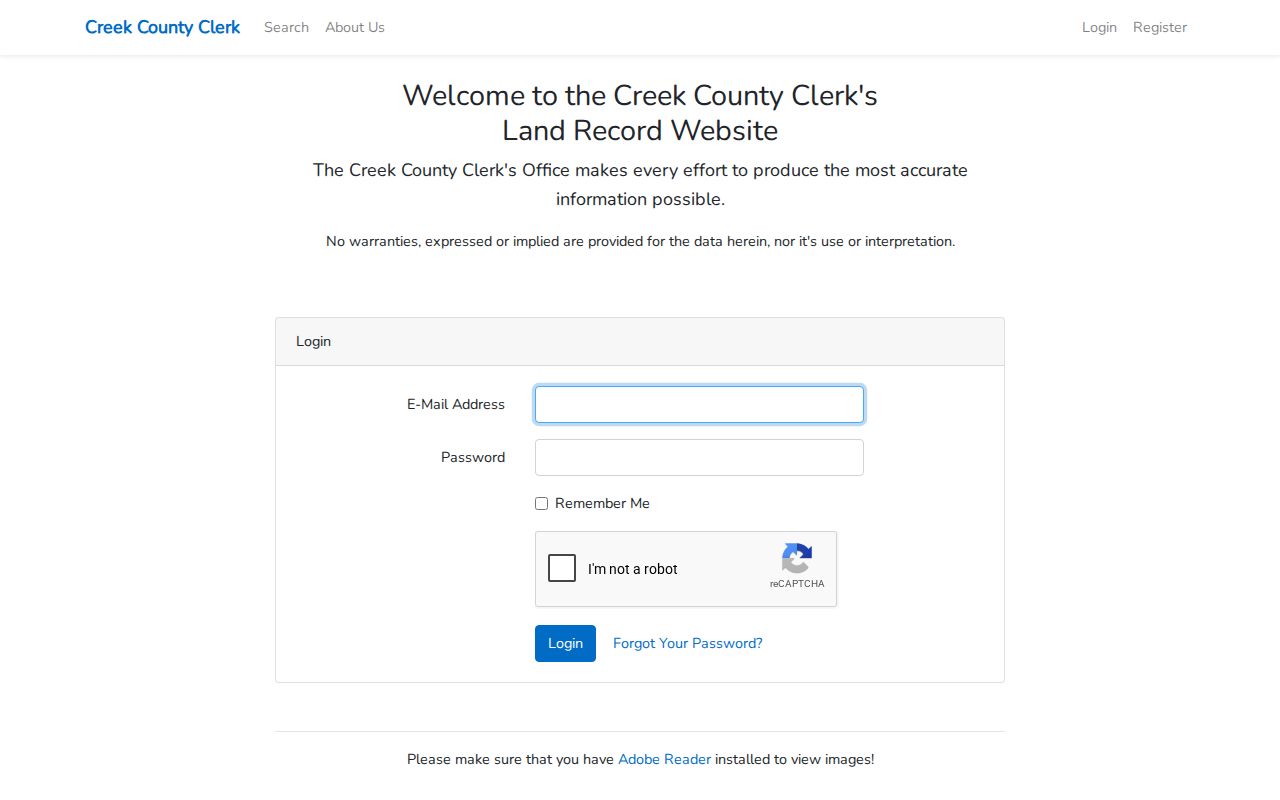
The login requirement is why a counter or records-request fallback belongs in a Sapulpa prior-address search.
Sapulpa Address Records Need Legal Descriptions
A Sapulpa street number is not a stable legal identity. Older Creek County instruments may use lot and block, an addition, metes and bounds, section-township-range language, acreage, or a different situs. Compare each Sapulpa deed to the parcel ID and legal-description fields from the assessor. A plat can also connect Sapulpa subdivision lots, streets, and parcel geometry.
Sapulpa's city FAQ asks for a legal description and general location for city-limit or address questions. Sapulpa development, annexation, a plat, or street numbering can make a printed address hard to match later. No verified Sapulpa renumbering project or year was found. Preserve the printed Sapulpa address, normalize its directional and street abbreviations for searching, and keep both forms in the file.
The 74066 postal label is another reason to avoid treating mailing geography as parcel geography. USPS moved 42 deliveries from Sapulpa 74066 to Kiefer 74041 effective February 17, 2007. A postal change does not by itself show a move or a change in who lived at an address.
Sapulpa Directory Records for Past Addresses
Once a Sapulpa title transfer establishes the parcel, directory material can test the household layer. The Historical Society reports Sapulpa directories with specific examples from 1907, 1911, 1916, and 1920 through 1975, plus holdings described as about 1907 to 2000. The Sapulpa entries may show a name, spouse in parentheses, occupation, home address, and phone if available. Old Sapulpa telephone books offer another listed-subscriber lead, but neither source represents every person at an address.
The Society also reports a project to digitize Sapulpa directories from 1907 to 2009. Public scan and search availability were not confirmed. Contact the museum or the Bartlett-Carnegie genealogy desk for the relevant year, then use the OHS City and Year search as an additional route. The broader collection details belong on the Sapulpa Directory Book page.
Oklahoma Historical Society's City Directory Search provides City and Year fields and points researchers to the Research Center for access when a scan is not shown.
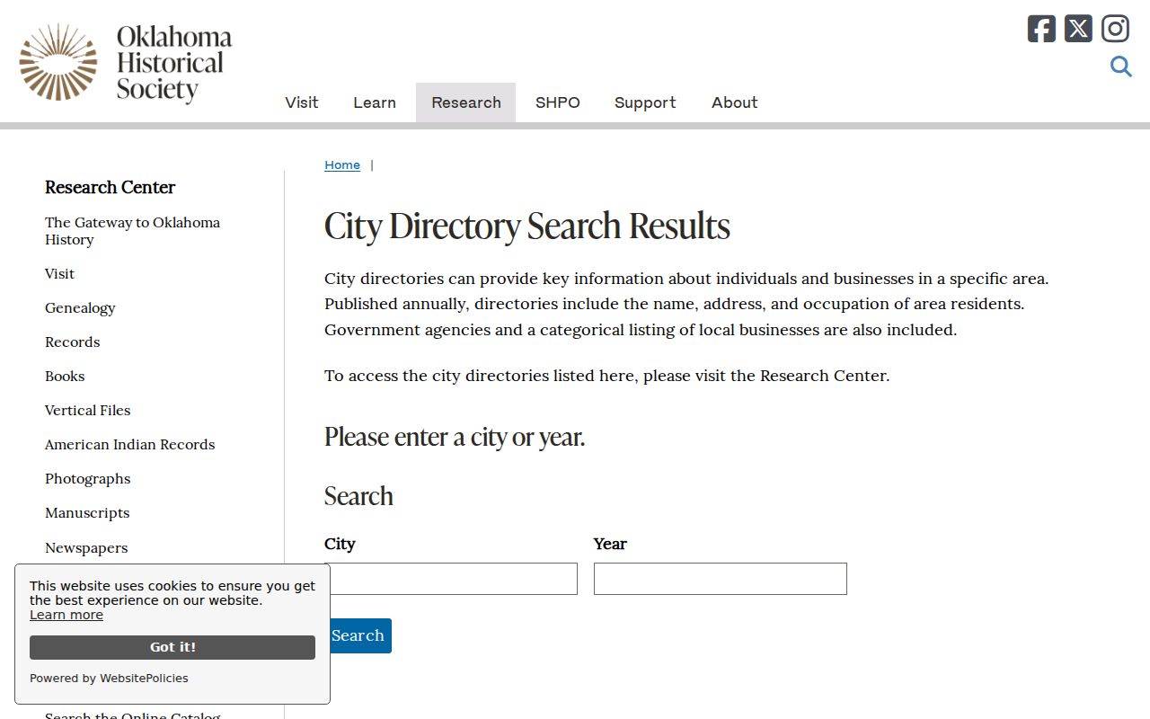
That search is a cross-checking route, not proof that every Sapulpa volume can be read online.
The Historical Society's reported digitization item records the 1907–2009 project scope.
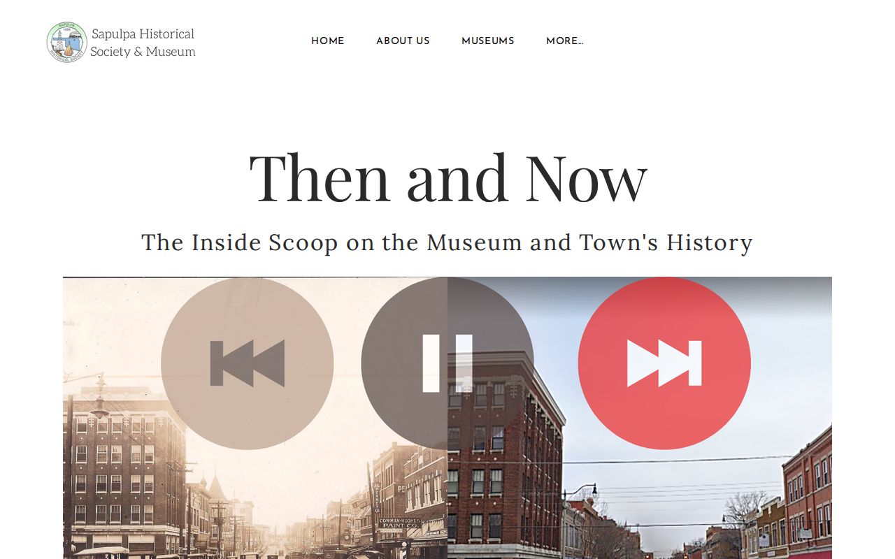
The report is useful for locating a possible access route, while its status still needs confirmation from the museum.
Sapulpa Household Records in Census Years
Pair each surviving Sapulpa directory observation with the nearest released census. Federal census years from 1900 through 1950 are publicly released, and later decennial records follow the 72-year release rule. The census can identify people missing from a Sapulpa directory entry, while a directory can place a name at a Sapulpa street address between census years. Compare the printed address, geographic district, surname variants, spouse clues, and nearby people before merging two records.
For a household process, first transcribe the directory year and address. Next, check the closest census date and record the household relationship and geography. Then return to the next available directory to see whether the address or listing changes. Use an obituary or probate file only to test a death, estate, heir, or relocation clue. Do not infer that every listed heir lived at the parcel.
Sapulpa Previous Residents and the 1911 Map
The Library of Congress Sapulpa Sanborn Map item supplies an April 1911 set of 11 sheets. Its building outlines, materials, dimensions, use, streets, sidewalks, property boundaries, and block numbers are useful for testing the Sapulpa built environment around an address. Save the sheet number and compare the Sapulpa street and block to a directory entry. The map does not prove that a person lived in the building.
Sapulpa building permits can add a later construction, remodeling, inspection, or certificate-of-occupancy date if the custodian releases the history. Sapulpa Building Inspections uses a SmartGov gateway, but the public source did not expose an anonymous address archive, result fields, or coverage years. Request Sapulpa permit history with the address, parcel ID, legal description, and approximate date rather than claiming a public permit search exists.
Sapulpa Previous Residents at Trail Endpoints
A Sapulpa death notice or estate file can explain why a name vanishes from a directory, but it must be connected to the address through dates and land records. The Historical Society reports Sapulpa Herald microfilm and newspaper digitization material reported for 1904 through 2017, although complete OCR and archive coverage were not established. Search the Sapulpa Herald for a death or move clue, then compare the result to the next deed transfer.
For Sapulpa probate, use the Oklahoma State Courts Network or ODCR where a case is online, then contact the Creek County Court Clerk for the file at 222 E Dewey, Suite 201, Sapulpa, 918-227-2525. Court records can include an estate representative, heirs, addresses, notices, and property references, but some material can be sealed or confidential. Online Sapulpa probate cutoff information and copy fees were not published.
The Anderson research example shows why reconciliation is essential. Roy and Katye Anderson appear in 1930–34 directories at 410 E Hobson, in later censuses outside Creek County, and in a 1962 Sapulpa deed. The deed named Payne County even though the land was in Sapulpa and Creek County. The legal description, not one incorrect county label, keeps that trail together.