
Sapulpa ZIP Codes and Coverage
The city plan and Postal Service materials identify two Sapulpa-labeled ZIP contexts plus several adjacent planning-map labels. Here, “covered” means that a ZIP is associated with a post office or the Sapulpa planning map. It does not mean every address in that ZIP falls inside Sapulpa city limits. The distinction matters in Creek County, where parcel, city, planning, and postal boundaries answer different questions.
| ZIP | Areas Covered | Post Office | Notes |
|---|---|---|---|
| 74066 | Sapulpa label and the city plan's Sapulpa ZCTA | Sapulpa, OK 74066-9998 | Principal Sapulpa ZIP; delivery area and city line can differ. |
| 74067 | Sapulpa PO-box and processing label context | Sapulpa label or processing context | Separate retail office and exact delivery geography were not located. |
| 74039 | Kellyville planning-map and ZCTA label | Kellyville | Adjacent planning-area ZIP, not a Sapulpa city-limit ZIP. |
| 74041 | Kiefer planning-map and ZCTA label | Kiefer | Received 42 realigned deliveries from 74066 in 2007. |
| 74050 | Oakhurst planning-map and ZCTA label | Oakhurst | Planning-region adjacency; delivery boundary detail was not located. |
| 74063 | Sand Springs planning-map and ZCTA label | Sand Springs | Regional planning label, not a claim of Sapulpa corporate service. |
| 74107 | Tulsa planning-map and ZCTA label | Tulsa | Regional ZIP and city mismatch example. |
| 74131 | Tulsa planning-map and ZCTA label | Tulsa | Regional ZIP and city mismatch example. |
| 74132 | Tulsa planning-map and ZCTA label | Tulsa | Regional ZIP and city mismatch example. |
Start with the postal label that belongs to the address, not the city name alone. The 74066 label is the main Sapulpa context, but 74067 appears in Postal Bulletin material as a Sapulpa PO-box or processing label. The research did not locate an address-level delivery map for 74067, so it should not be treated as a normal neighborhood boundary without USPS confirmation.
Verify a Sapulpa ZIP Code First
The official USPS ZIP Code Lookup is the first check for a current street address. It offers three routes: look up a ZIP from a street address with city and state, see all ZIPs associated with a city and state, or enter a ZIP to see its city labels. Address verification is stronger than guessing from “Sapulpa” in a mailing line, especially near Kiefer, Kellyville, Oakhurst, Sand Springs, or Tulsa labels.
The USPS lookup screen shows the address, city/state, and ZIP lookup modes used for this check.
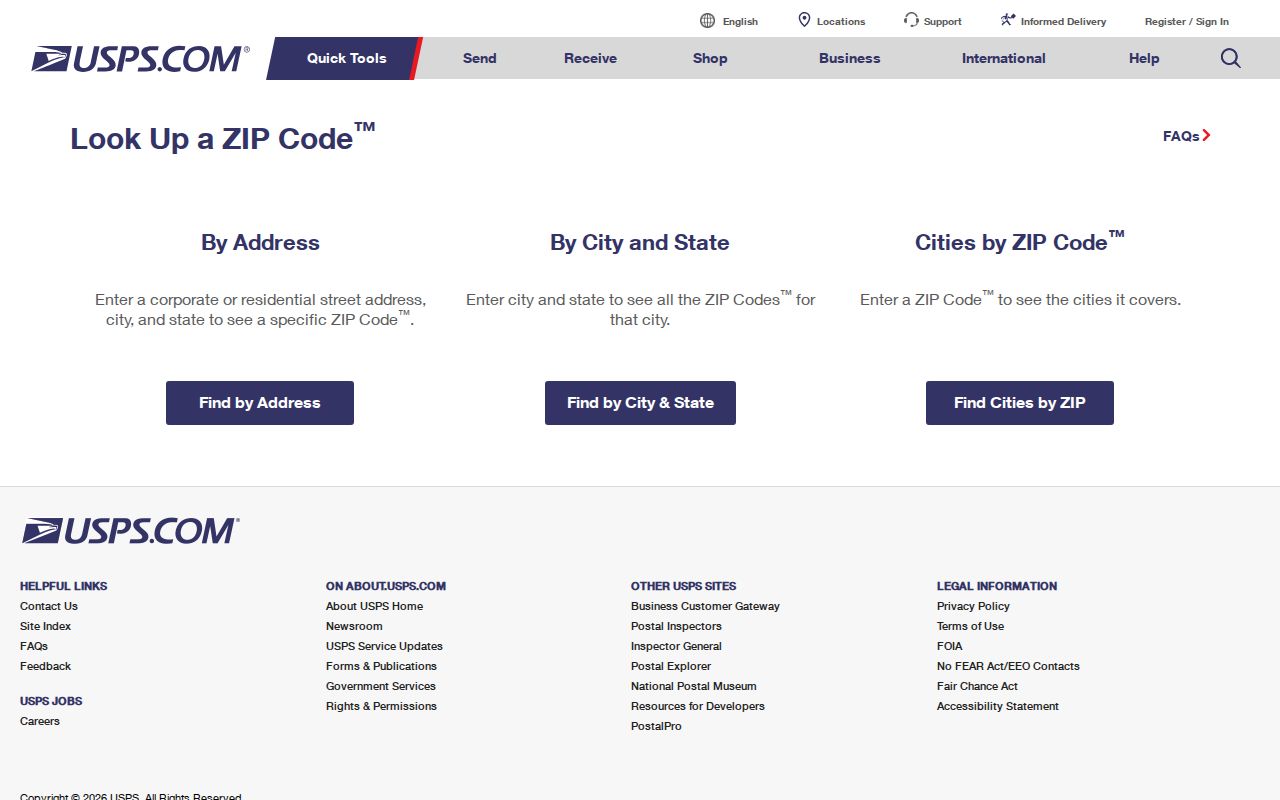
Use the address mode when a parcel's delivery code is uncertain, then keep the returned ZIP separate from the county's parcel and legal-description fields.
For a local counter or box-access question, the official Sapulpa Post Office listing identifies the office at 410 S Main St, Sapulpa, OK 74066-9998. It lists 918-224-3527, weekday lobby hours of 8:30 a.m. to 5 p.m., Saturday hours of 9 a.m. to noon, and 24-hour PO Box access.
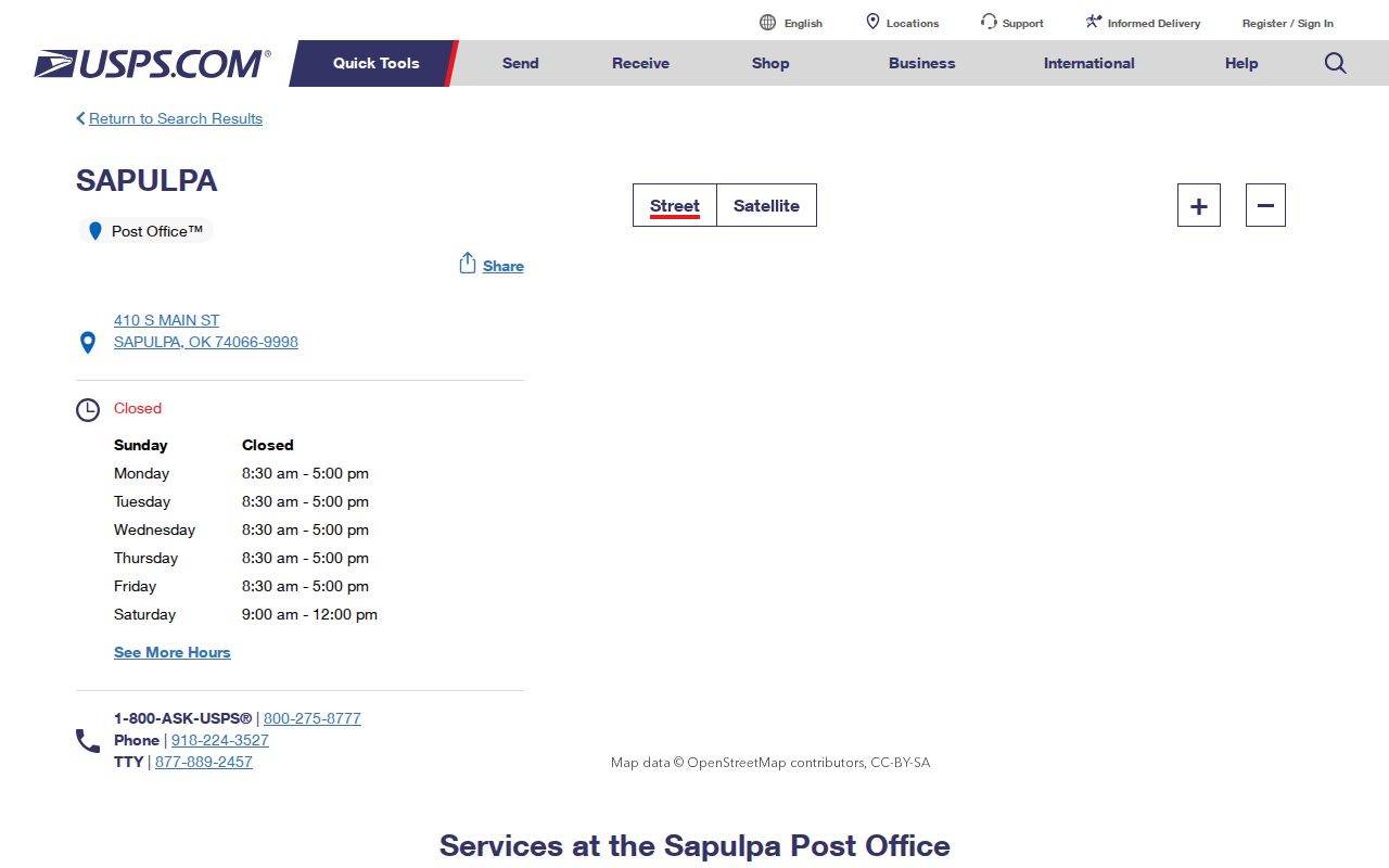
The post-office details help distinguish retail and PO Box access from a claim that every Sapulpa-labeled ZIP has the same delivery footprint.
74066 and the Sapulpa ZIP Context
ZIP code 74066 is the principal Sapulpa postal context. The city plan associates it with the Sapulpa ZCTA, and the Sapulpa Post Office carries the 74066-9998 designation. Neither fact draws a municipal boundary. A property can use a Sapulpa postal label while its physical parcel, school district, or governing jurisdiction needs a separate check.
ZIP code 74067 deserves more caution. Postal Bulletin material associates it with a Sapulpa PO-box or processing context, but the reviewed sources did not locate a separate retail post-office address or its exact delivery geography. It is useful as a postal label to verify, not as a basis for assigning a residence to a neighborhood or city limit.
Sapulpa's 2007 ZIP Boundary Shift
A local ZIP code change is documented, not assumed. The USPS Postal Bulletin reports that 42 deliveries moved from Sapulpa 74066 to Kiefer 74041 effective February 17, 2007. That geography change is important when a family record, deed correspondence, or older address list falls on opposite sides of the date.
Keep both codes in a time-stamped address note when the evidence crosses the realignment. A current USPS result should resolve present delivery, while the printed ZIP on an older record remains part of that record's history. Replacing every older 74066 reference with 74041 would erase a useful fact about when the document was made.
Note: The reviewed sources establish the 42-delivery change and its date, but they do not provide a complete local delivery-boundary map.
Find Sapulpa Residents by ZIP Code
A ZIP code narrows geography, but it does not create a complete resident list. Begin with the exact address, then let each official source answer its own question. The property layer can connect an address to a parcel and titled owner. USPS confirms delivery routing. Older directory and deed work uses the address as printed and the parcel's legal description, rather than a modern postal code.
- Verify the exact street address through USPS and note the returned ZIP and postal label.
- Decide whether the address is in 74066, 74067, or an adjacent planning-area ZIP, then save that context without assuming a city limit.
- Use the Creek County Assessor Tabular Search to search the situs address and save the parcel ID, legal description, city/state, and ZIP fields separately.
- Inspect the ArcGIS city, subdivision, township, block, school, fire, water, and zoning layers for parcel and district context.
- For older records, search the historic printed address and then use lot, block, addition, or legal description in County Clerk deed work. Do not insert a modern ZIP into an older directory entry.
- Use Census ZCTA numbers only as area context, never as a count of Sapulpa city residents.
When the ZIP is settled and the task becomes a street-by-street parcel review, use the Sapulpa Street Directory for the address-focused process. The ZIP remains a geographic filter, while the situs and parcel record identify the property.
Sapulpa Parcel ZIP Fields
The public Creek County Assessor ArcGIS Property Search exposes a zipcode field in parcel data, yet ZIP is not one of the visible primary search choices. The visible search controls are Account, Parcel ID, Owner Name, and Address. Search the situs address first, then read the returned city/state and ZIP alongside the physical location and legal-description fields.
| Assessor field or control | Type | ZIP-related use |
|---|---|---|
| Account | Free-text search | Opens a known parcel record; it is not a ZIP filter. |
| Parcel ID | Free-text search | Finds a parcel by identifier, useful after an address match. |
| Owner Name | Free-text search | Finds titled or tax-listed owners, not every occupant. |
| Address | Free-text search | Searches the situs, the physical taxable location. |
| zipcode | Parcel-card data field | Preserves a postal value after a parcel is found; a ZIP-wide visible search mode was not located. |
The same card can show owner name, mailing address lines, city/state/ZIP, situs or TrueSitus, parcel ID, acreage, legal description, value fields, sale information, neighborhood, and district fields. Owner-name results identify the titled or tax-listed owner, not every person at an address. A map result also should not be treated as a USPS ZIP boundary because GIS and USPS maintain different kinds of geography.
When Sapulpa ZIP Codes Miss City Limits
Sapulpa makes the city-versus-ZIP question especially visible. The official 2030 Comprehensive Plan puts the planning area at 92.8 square miles, including 1.1 square miles in Tulsa County, while corporate limits total 23.14 square miles. Its Map 28 labels 74039, 74041, 74050, 74063, 74066, 74107, 74131, and 74132. A planning-area map can therefore include an address beyond Sapulpa's corporate line.
For a definite city-limit or address question, use the city plan and legal description and contact Sapulpa Urban Development as the city's route for verification. The city FAQ asks for a legal description, proof of ownership, general location, or a nearby address. USPS controls delivery ZIPs, while the city and county record physical parcels and boundary relationships.
- ZIP code
- A USPS delivery-routing label. It can be associated with a city name without proving that an address is inside that city's limits.
- ZIP+4
- A ZIP code followed by four extra digits for a more specific delivery segment. Verify the complete address with USPS rather than inferring it from a parcel record.
- PO-box ZIP
- A postal label used for box or processing context. For Sapulpa 74067, the reviewed sources did not establish an exact delivery geography.
- Unique ZIP
- A ZIP category that can appear in a Census ZCTA context without functioning as a normal city boundary.
- Carrier route
- A delivery-route label. The reviewed Sapulpa research did not locate a verified carrier-route layer or complete postal boundary map.
Sapulpa ZIP Codes and Census ZCTAs
A Census ZCTA is not the Postal Service's delivery map. The Census describes ZCTAs as generalized statistical areas built from USPS ZIP information, and they can include noncontiguous areas, enclaves, and unique or PO-box ZIPs. That is why a ZCTA can be helpful for regional context but cannot settle whether a particular mailbox or parcel is in Sapulpa.
The 74066 ZCTA profile reports a 2020 population of 31,255, a 2024 ACS five-year median household income of $64,698, and 13,860 dwelling units. Those are statistics for the generalized 74066 area. They are not a count of Sapulpa city residents, a resident directory, or an address-by-address postal list.
Note: Label every figure as 74066 ZCTA context, because postal and Census geography extend differently from Sapulpa's city boundary.
Keep Historic Sapulpa Addresses Dated
Older Sapulpa city directories and criss-cross volumes are address tools, but they generally predate modern ZIP use. Search the street address in the form printed by the directory. If a later county record needs to be connected, use the parcel's lot, block, addition, section, acreage, or other legal description instead of forcing a modern ZIP onto the historical entry.
The Creek County Assessor can bridge a present situs to a parcel and legal description. The Creek County Clerk holds deeds, plats, mortgages, liens, leases, and other recorded instruments. Its linked land-record system requires login, and the research did not verify an online coverage year. The Clerk counter and a written request remain important access channels when the online route does not answer an older address question.