
Tracking a Sapulpa Street by Address
Start an address-based Sapulpa street directory search in the Creek County Assessor ArcGIS map. Enter the address as the situs, then save the account, parcel ID, legal description, current owner field, and any lot, block, or addition shown. The assessor's map bridges a street address to the land description that the County Clerk uses. It does not establish that the owner or a name in a mailing field occupies the property.
- Search the physical address in the Assessor Address field and open the parcel card.
- Save the parcel ID, legal description, subdivision, lot or block, and the date or book-page fields shown.
- Use the legal description and owner name in the Creek County Clerk land-record route to locate the recorded deed.
- Compare the grantor, grantee, recording detail, and land description before moving backward or to an adjacent parcel.
- Use historic directories or Sanborn maps only after recording the address form printed for that period.
Note: A street number is a useful search term, but the legal description is the stronger crosswalk for old Sapulpa records.
Sapulpa Street Directory Records
Several address-keyed sources can help, but they each cover a different part of a Sapulpa street. The parcel card gives a current tax and title-oriented view. A plat describes lot and block geometry. A recorded deed shows parties and the legal land description. Permit and code information may provide a building or municipal-history clue when the custodian releases it. Historic directory entries can place a listed person at an address in a particular year.
| Address source | What it can show | Access |
|---|---|---|
| Assessor parcel card | Owner, situs, parcel, legal description, value and tax fields | Public ArcGIS search |
| GIS layers | Parcels, blocks, lots, subdivisions, zoning and districts | Public map and 300-foot buffer |
| County deed index | Grantor, grantee, instrument and land description | Login portal or County Clerk counter |
| Building records | Permit, inspection, or certificate-of-occupancy trail if released | SmartGov gateway or city request |
| Directories and Sanborn | Historic address and built-environment context | Library, Historical Society, or Library of Congress |
Sapulpa Street Directory Search Fields
The official ArcGIS experience offers Account, Parcel ID, Owner Name, and Address searches. Its hint reads, “Find by address, owner, account or parcel.” The research did not verify a minimum character count, a result cap, or that a partial street query retrieves every parcel. Use the full address where possible, then review individual card results.
| Search control | Street-use purpose | Research caution |
|---|---|---|
| Address | Find a physical situs | Search behavior is not published |
| Owner Name | Follow the tax-listed owner to a parcel | It is not an occupant search |
| Parcel ID | Return to an already identified tract | Keep the full identifier |
| Map click / buffer | Inspect nearby mapped parcels | It does not make a household roster |
The Creek County property interface displays these options and the associated parcel card.
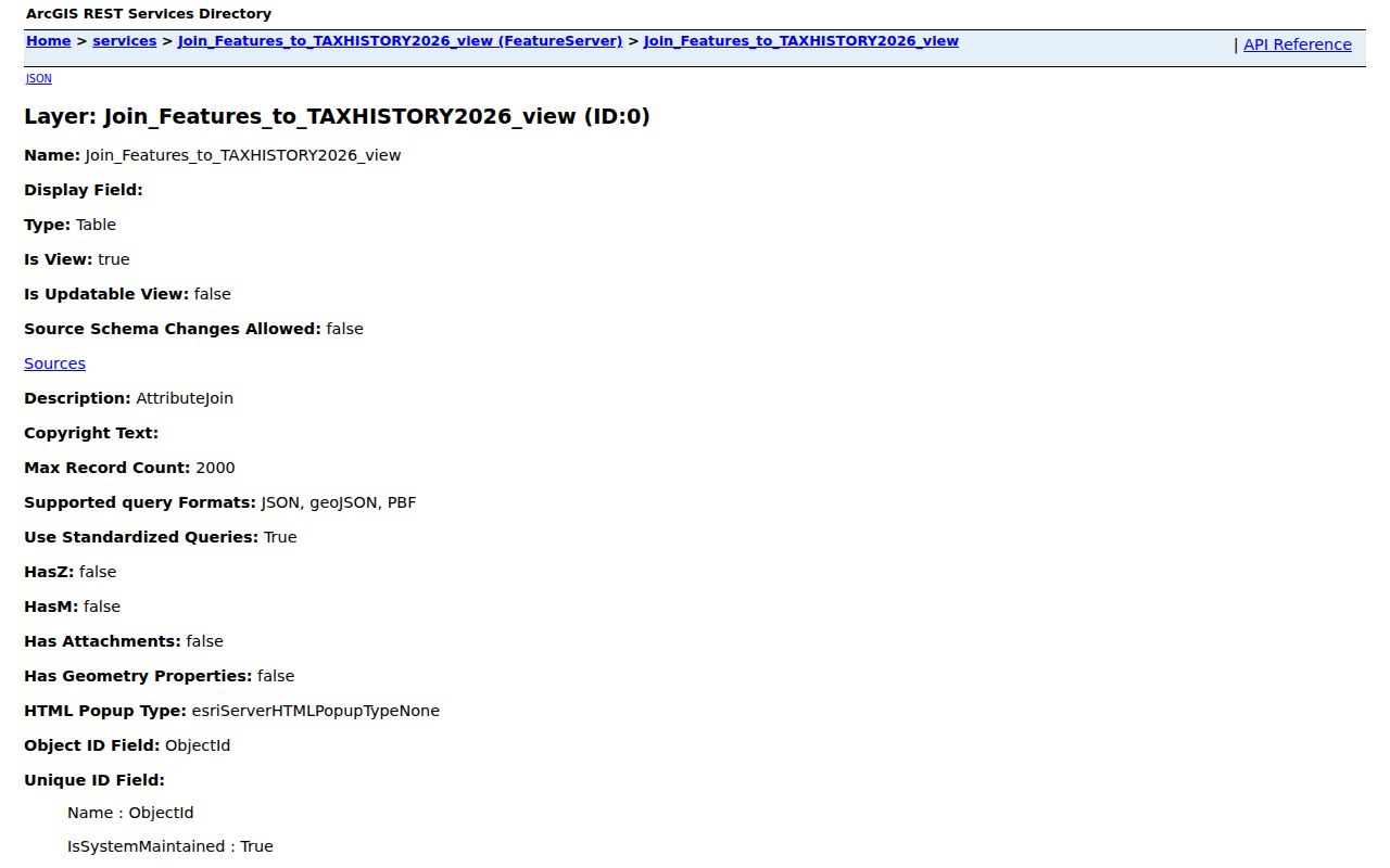
The public layer includes situs and zipcode fields, but the inspected map did not expose ZIP as a dedicated search control.
Sapulpa Situs and Mailing Records
Read the parcel card carefully. Its situs or TrueSitus field is the taxable physical location. The mailing address fields may point to a post office box or another town. An owner name and a homestead flag are useful property clues, but neither is a current list of everyone at a house. Treat each field as evidence with its own meaning.
- Parcel
- A mapped tax unit associated with a legal land description.
- Situs address
- The physical taxable location of the parcel.
- Plat
- A recorded map that can show lots, blocks, streets, and easements.
- Criss-cross directory
- A historical directory arranged by address, often useful after a name search fails.
When an old street number no longer matches, compare lot, block, addition, acreage, section, and nearby parcels. Creek County Mapping explains that maps represent taxable land, legal descriptions, conveyances, and parcel relationships.
Sapulpa's 300-Foot Block Buffer
After a parcel search or map click, the Assessor ArcGIS item can make a 300-foot radius buffer. The tool offers a concrete way to inspect parcels near one address and turn on layers for blocks, lots, subdivisions, school districts, water districts, fire districts, zoning, townships, and commissioner districts. It is especially useful for learning whether two properties belong to the same subdivision or block.
Read the nearby cards one at a time. The buffer displays map relationships, while each card reports its own tax fields and ownership record. For an immediate-block workflow, use the Sapulpa neighbors lookup rather than assuming a radius is a complete list of people.
Sapulpa Deeds Along a Street
The County Clerk is the recorded-document custodian for deeds, mortgages, plats, oil-and-gas leases, liens, military discharges, and other instruments. CreekCountyLand currently opens to a login page. The reviewed sources do not publish an online coverage year, a document-type list, or image pricing. A login page is therefore not proof that the whole deed chain is available online.
Use the current owner or legal description from the assessor to locate a deed into that owner. The seller is then the next prior grantee to search. Check all spelling variants, trusts, and entities shown in the documents. If the online route stops, request a grantor-grantee search or book-page copy from the Creek County Clerk. The published fee schedule lists $8 for the first page of a deed-like instrument, $10 for preservation per instrument, and $2 for each additional page.
A street can cross additions or include lots with different legal descriptions. Do not carry a name from one parcel to another just because the properties share a road. Plats are useful here because they identify lots, blocks, streets, common areas, and easements. When an address becomes unclear, compare the recorded legal description with the assessor card and the plat before drawing a conclusion about the property trail.
Sapulpa Permit Address Trail
Building and trade permits can add a construction or improvement clue to a Sapulpa street search. The city says Building Inspections handles building, sign, electrical, mechanical, and plumbing permit procedures. SmartGov is the current public account gateway, but the research did not locate an anonymous permit search, public address filters, coverage years, or image access. Do not assume the login page is a public archive.
Request a focused record with the address, legal description, parcel ID, and approximate date. The City Clerk's 2025 form allows search terms and date ranges, while Building Inspections is at 424 E Hobson and has the documented permit procedure. The Sapulpa Building Inspections page is the verified starting point.
Permit evidence has a narrow role. A permit or certificate of occupancy can date construction, a remodel, or an inspection event if the city releases the file. It does not prove that a particular person lived at the address. The record request should state whether inspection, copies, or certification is needed and should include the address exactly as known, its parcel ID, and the date range. City staff can use the legal description to distinguish similar street locations.
Code material is separate as well. The city says nuisance-abatement work usually takes about two weeks, but the research did not locate an online code-case index. For a releasable address record, use the City Clerk's request process rather than assuming SmartGov displays a complete public history. The city form permits a requester to supply semicolon-separated search terms, a start and end date, and a preferred delivery format. That detail helps the custodian find an existing file without being asked to create a new street report.
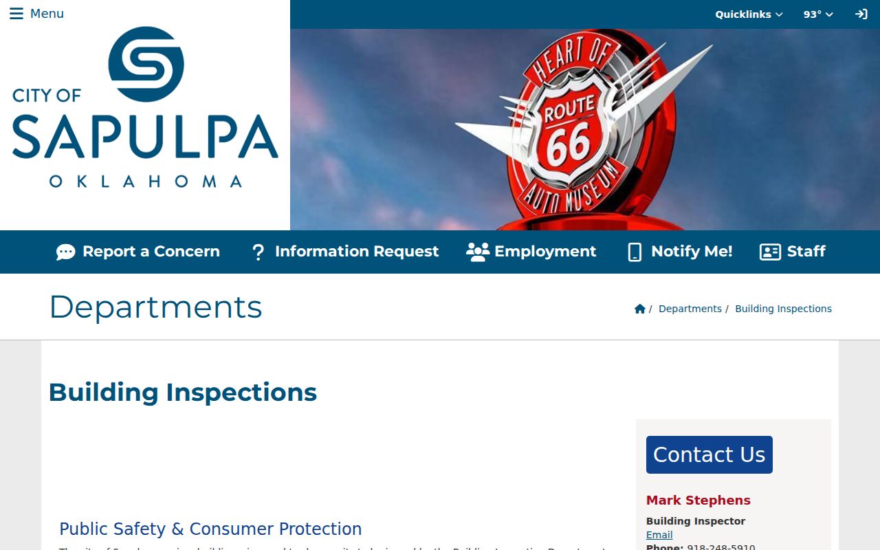
The city page shows the official permit and inspection route, which remains separate from a public address-directory result.
Sapulpa Historic Criss-Cross Entries
Historical address work belongs in the library and Historical Society collections. Sapulpa volumes include Hoffine's and Polk's directories, with verified examples from 1907, 1911, 1916, and 1920–1975. An entry may include a name, spouse, work, address, phone, and widow notation. A criss-cross volume reverses the route by arranging entries under the street address.
Bartlett-Carnegie Public Library's genealogy room has microfilm and microfiche, while the Historical Society identifies directory, phone book, yearbook, and Herald microfilm holdings. The historical Sapulpa directory book gives the collection details. Search printed forms such as 28½, East or West abbreviations, and nearby addresses before normalizing them.
The Library of Congress provides an April 1911 Sapulpa Sanborn set with 11 sheets. A Sanborn sheet can show a building footprint, block, or use at that time. It cannot identify an occupant. Pair a map image with the directory year and a land record rather than making a street-history claim from any one source alone.
Note: A directory entry is a dated lead, not a complete household list or a substitute for the parcel record.
Sapulpa Street and ZIP Boundaries
A Sapulpa street address can sit in a different geography depending on the question. The city has corporate limits, while the official planning area is larger and includes a Tulsa County portion. A USPS ZIP is a delivery route, and a Census ZCTA is a generalized statistical area. Neither one alone proves city limits or parcel jurisdiction.
Verify a delivery ZIP with USPS ZIP Lookup. For city-limit questions, the Sapulpa FAQ directs people to Urban Development with a legal description, general location, or nearby address. A ZIP-first record path belongs on the Sapulpa ZIP code directory page.
The distinction is unusually visible here. Sapulpa's planning area is 92.8 square miles, while its corporate limits cover 23.14 square miles and the planning area includes a small Tulsa County portion. USPS also moved 42 deliveries from Sapulpa 74066 to Kiefer 74041 in 2007. Preserve the ZIP printed on an older address record and verify the present delivery label rather than treating any one geography as the parcel's full identity. Parcel, postal, and city-boundary information should be saved as separate details during a street search, especially near an annexation or planning-area edge.
Sapulpa Street Requests Need Dates
The City Clerk's current open-records form is designed for a defined file rather than a broad street sweep. It asks for the description of the records, suggested search terms, and a starting and ending date. A request can select physical copies, inspection, certified copies, or email if the city offers it. The form also warns that some material can require time, a fee estimate, or a deposit when the anticipated charge exceeds $75.
Use the property details to make the request useful. Include the printed address, apartment or fractional number where relevant, legal description, parcel ID, and a narrow date range. Ask for a permit, inspection, certificate-of-occupancy, code record, plat, or other specific class of file, rather than requesting a list of people on a street. The city can withhold exempt material and may not need to create a new report, but a specific existing record has a clear custodian path under the Oklahoma Open Records Act.
Creek County's request form provides a similar fallback for county material. It asks for a department, inspection or copying choice, record description, and identifying details. The form reserves at least three business days as a local processing notice and identifies possible search or staff charges for more extensive retrieval.
Limits of a Sapulpa Street Directory
An address trail does not show every person on a street. Assessor records identify tax-listed owners and parcel attributes. Deeds record property parties. Historic directories omit many residents. Voter data has protected-record rules, and its individual lookup uses exact identity information. Utility customers, protected addresses, DMV records, and private household lists are not a substitute source here.
When a public search ends, a specific request to the right custodian is the next step. The Oklahoma Open Records Act permits inspection and copying subject to statutory exemptions, not the creation of a custom street roster.